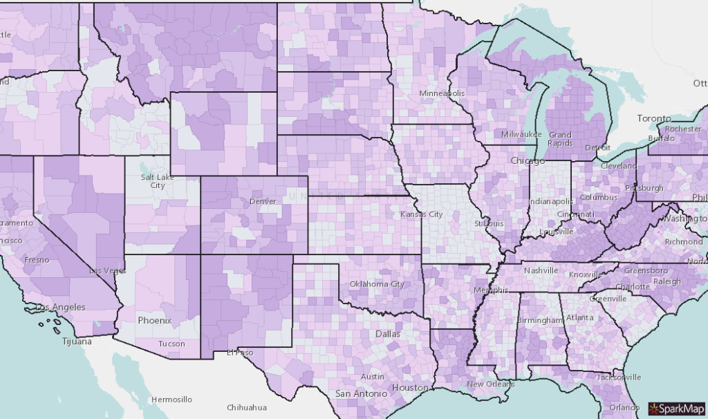
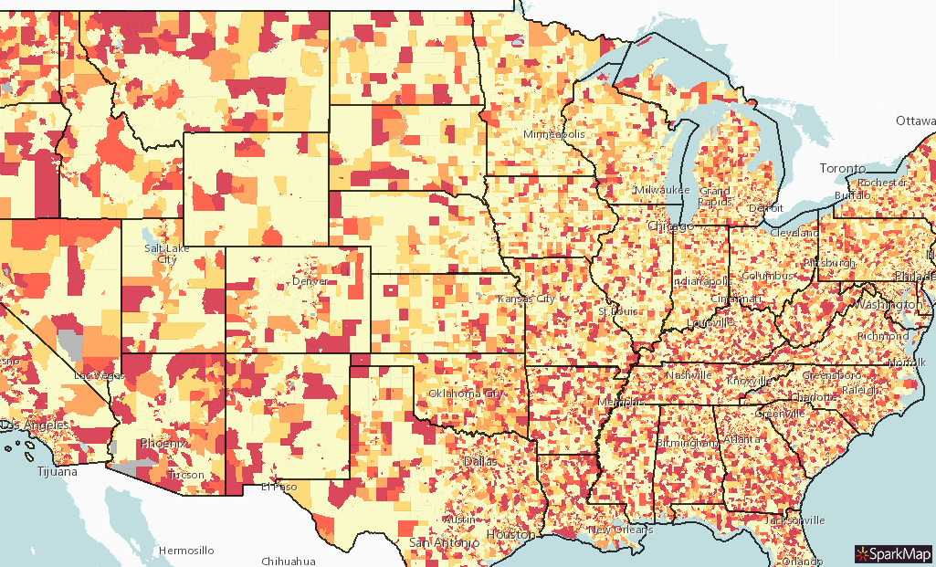
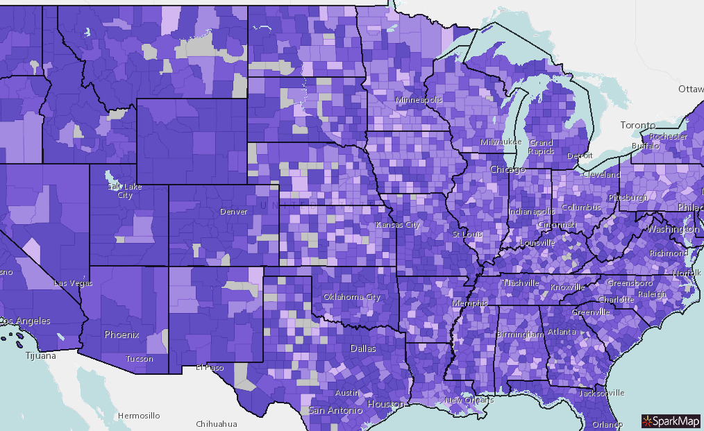
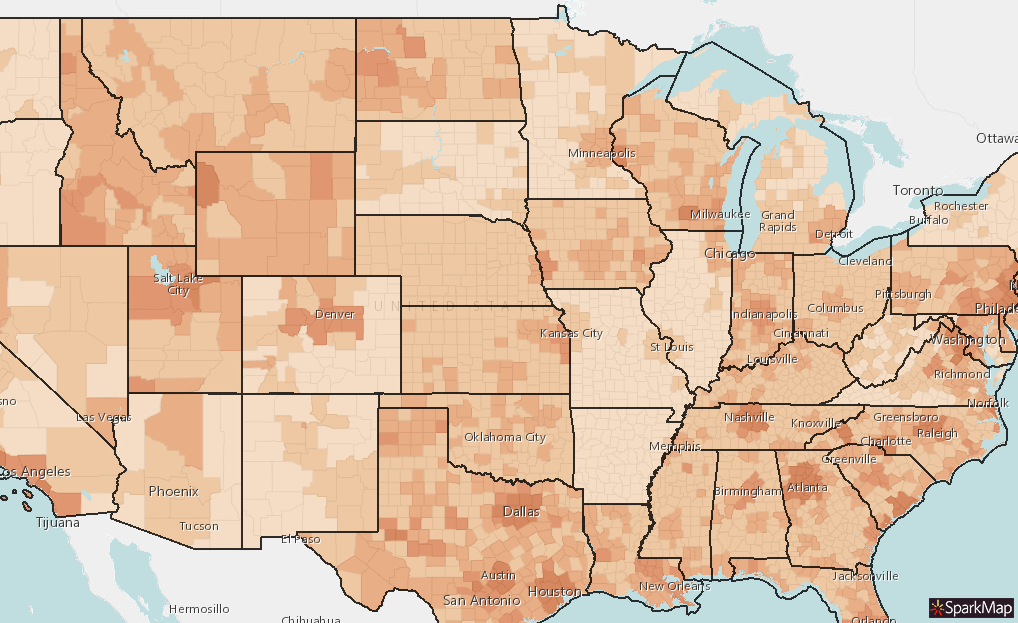
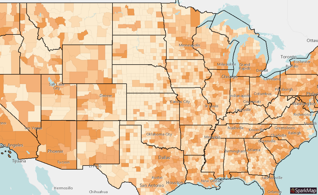
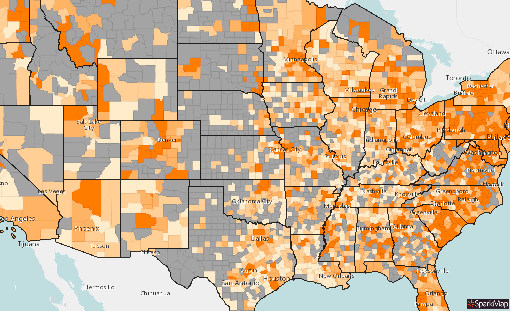
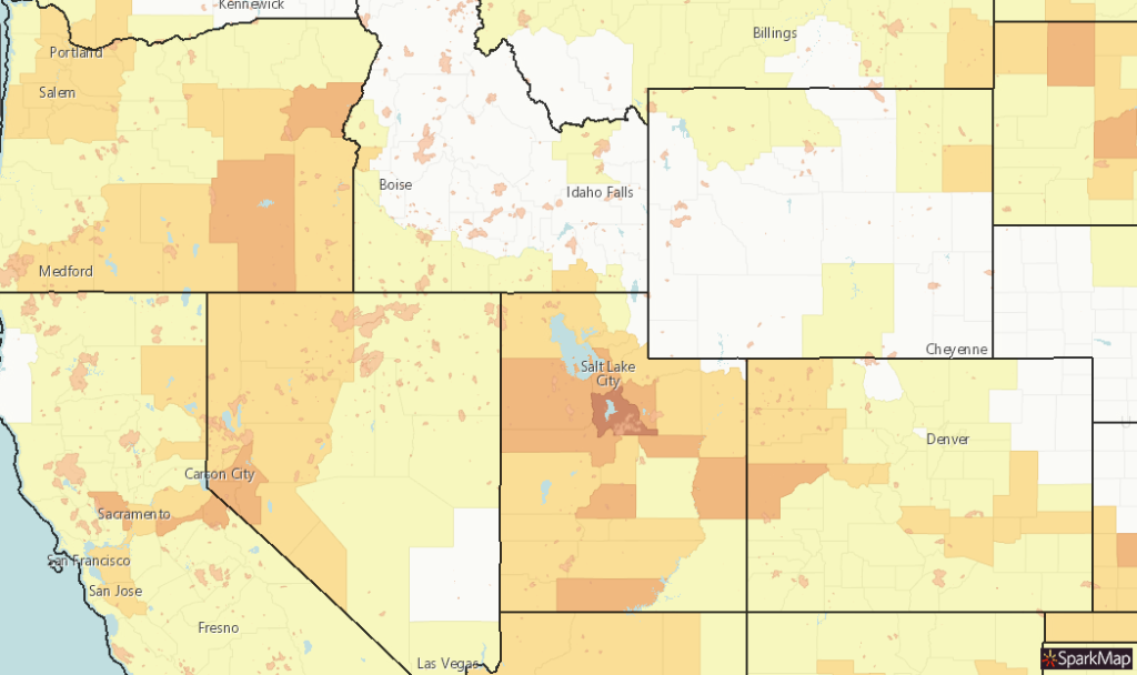
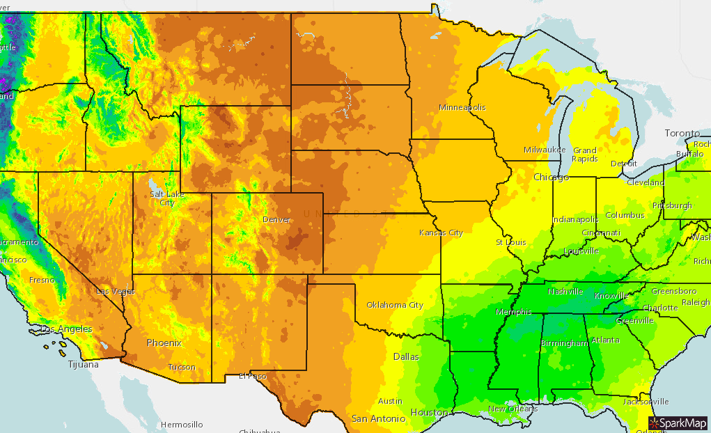
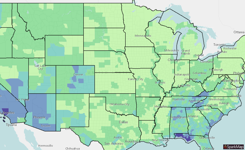
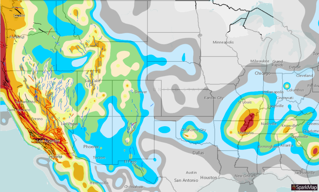
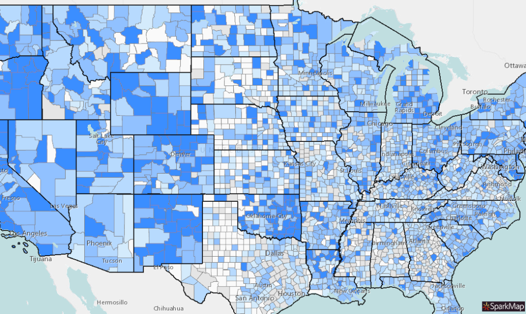
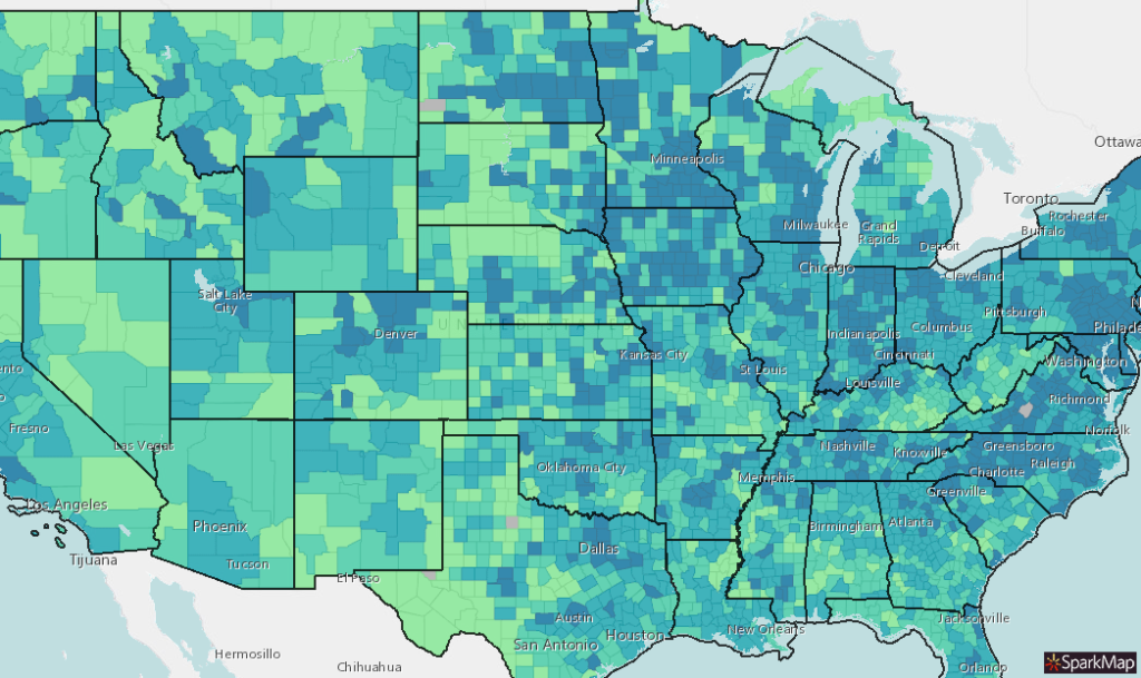
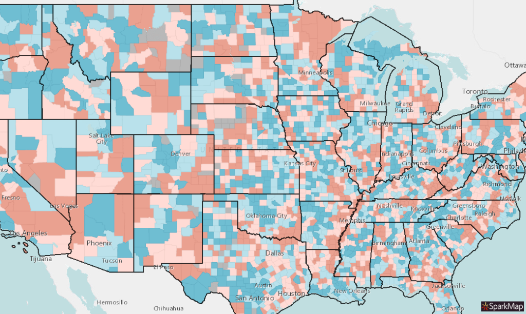
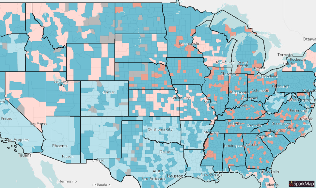
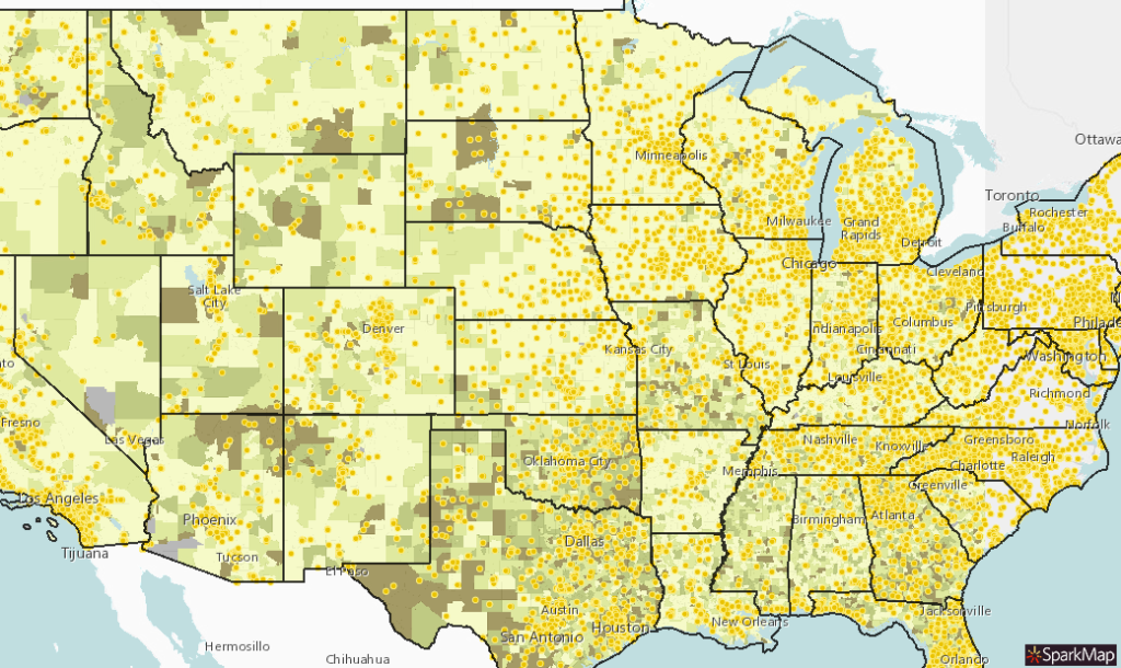
A few curated maps to get you started.
Starter Map Gallery

COVID-19 Cases by County and ICU Beds
COVID-19 confirmed cases by county (centroid) and the number of Intensive Care Unit (ICU) beds in a 20 mile radius. Add testing locations and hospitals to visualize healthcare access and COVID response.

COVID-19 Starter Map: Demographic Vulnerability
This starter Map features Demographic information including Disabled Population, Median Age, Total Households, Total Population as well as confirmed COVID-19 Cases and Deaths from the John Hopkins University.

Opioid Pills Per Capita
Opioid pills per capita by county. Add mental health care providers, law enforcement prevalence, and substance abuse facilities to better understand how the opioid crisis is affecting your community.

Cropland
Major types of crops grown across the United States. Add beef, hog, or dairy cattle to learn more about food production and food systems in your area.

Incarceration Rates by Census Tract
Incarceration rates by census tract. Add crime statistics, number of law enforcement officers, and demographics to learn more about a sub-population.