How to Use the Mask Tool
The Mask Tool allows you to hide or lighten sections of your map, making it easier to highlight data of interest. This tool is available for all SparkMap users.
Add Layers to Your Map
Select Your Mask Geography
Add and Edit Mask
Step 1 – Add Layers to Your Map
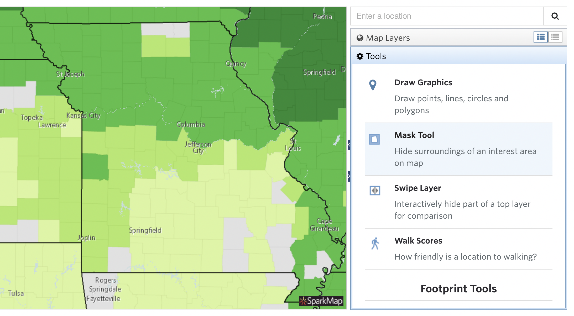
This Tool is only accessible once you add a layer to a map in the Map Room.
Once you’ve added your map layers and zoomed into your location of interest, access the Tool by clicking the “Tools” tab in the Map Room and scroll to the Mask Tool heading (Figure 1).
Step 2 – Select Your Mask Geography
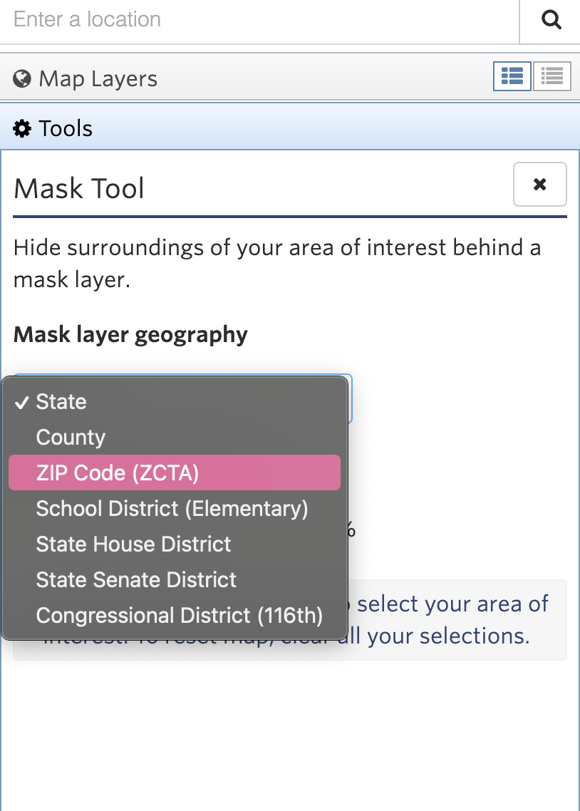
After selecting the Tool, click the “Mask Layer Geography” button to identify your geography level of interest (Figure 2).
Step 3 – Add and Edit Mask
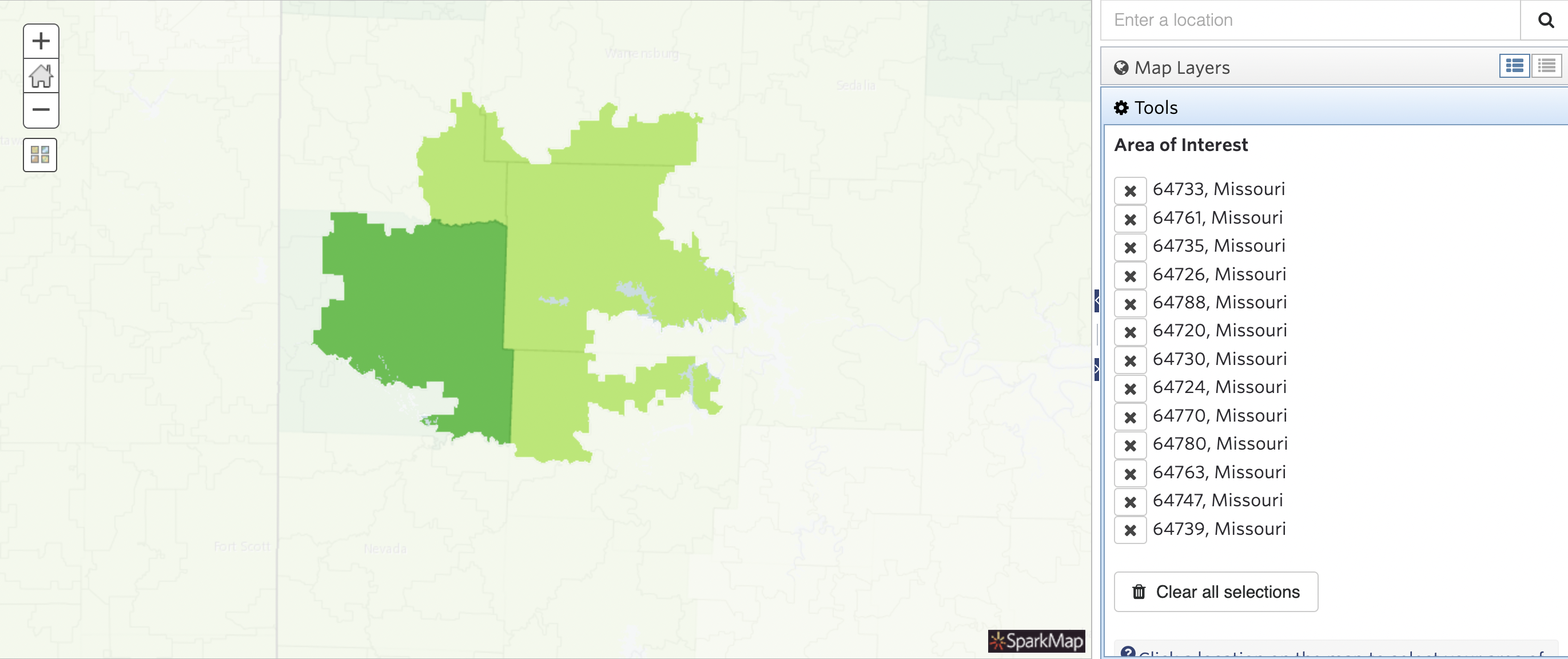
Your entire map should now be masked. Click the map to unmask the locations you wish to display (Figure 3).
As you edit your mask, a list of your selected locations will populate (Figure 4). Simply click the X beside any location to remove it.