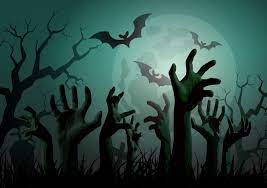
Will you survive the Zombie Apocalypse?!
Imagine This…
You’ve woken up after a great night’s sleep and head to the kitchen to brew your pot of morning coffee. On your way, you turn on today’s NPR podcast to catch up on the news. To your surprise, the journalists immediately alert you to a breaking story: it’s finally happening—the zombie apocalypse. Although most would panic, you knew the last 12 years binge watching The Walking Dead would pay off. First thing on your list: gather the necessary supplies.
The name of the game now, is efficiency. You know what you need (i.e., medical supplies, food, water, tools, etc.) but where can you get everything quickest? Explore the SparkMap Map Room, to easily find the closest hospital and supermarket locations and assess whether or not there are warehouse stores and pharmacies in your area.
They’re in Nebraska?
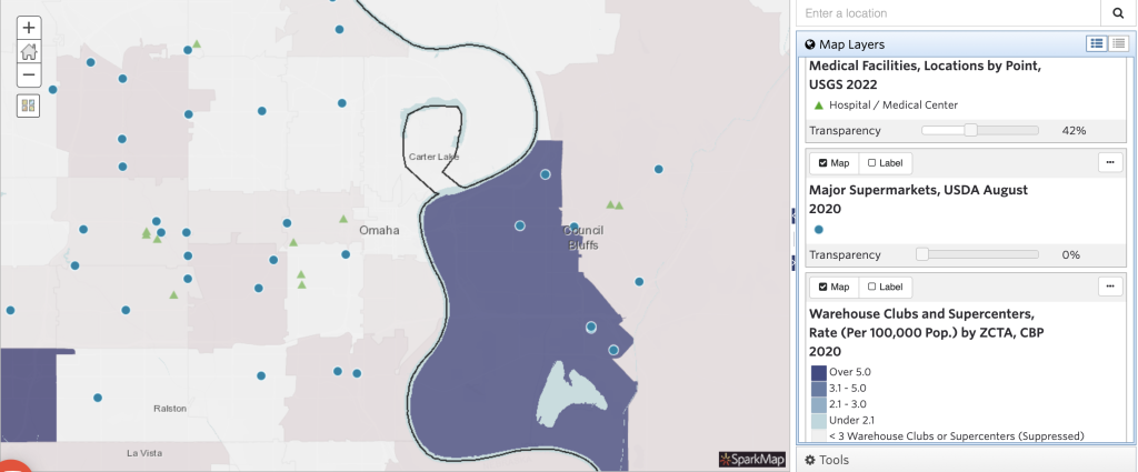
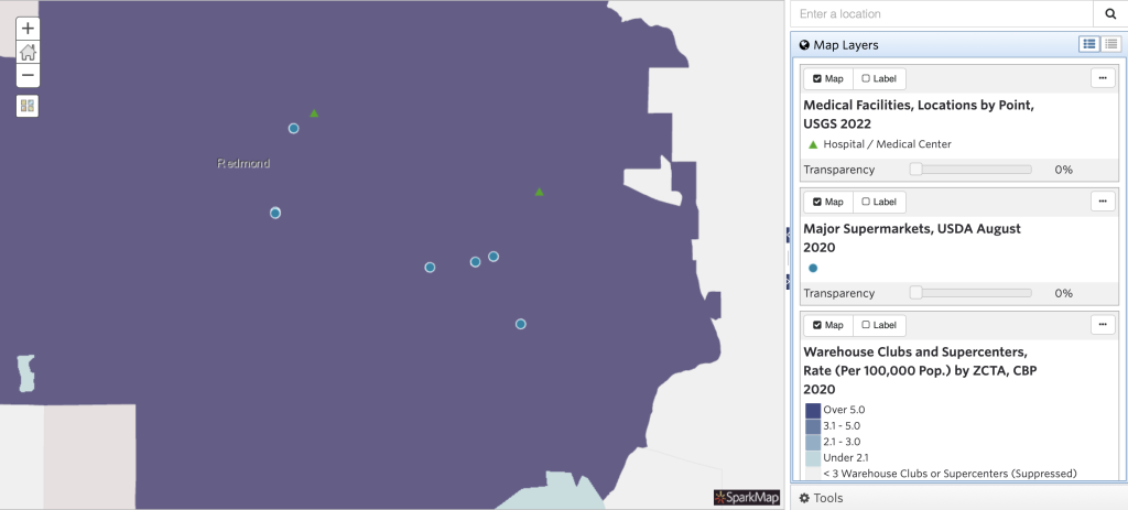
For example, let’s imagine you live in Omaha, Nebraska and your sibling lives in Redmond, Washington. Judging by our maps in Figure 1, those in Redmond have more places to find their survival supplies fast. But that doesn’t mean you’re out of luck. Let’s take a closer look at your neighborhood.
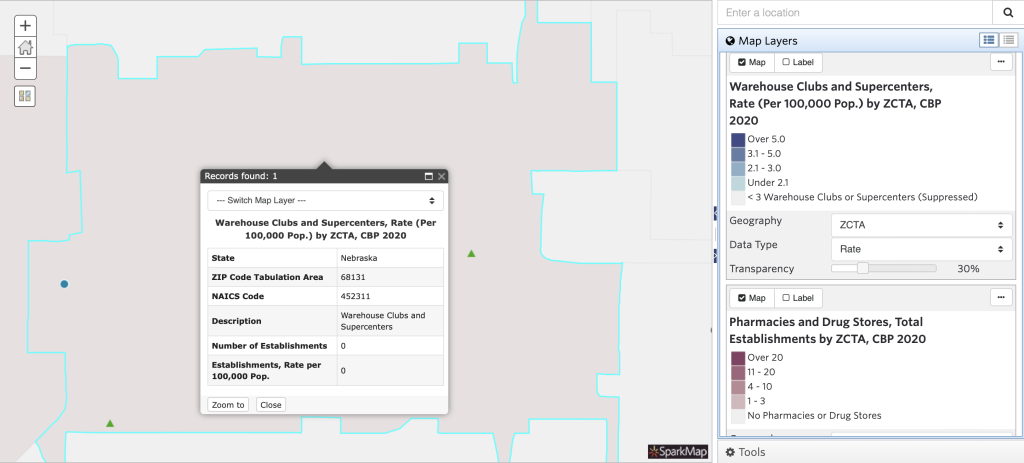
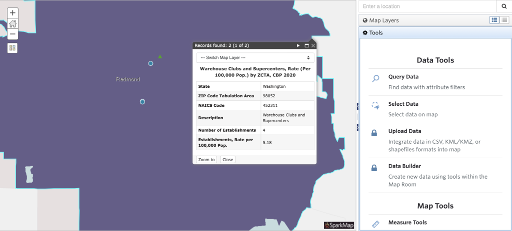
Unfortunately, you’re out of luck when it comes to Warehouse stores (Figure 2). It doesn’t look like you’ll be able to load up on giant muffins at Costco or Sam’s Club.
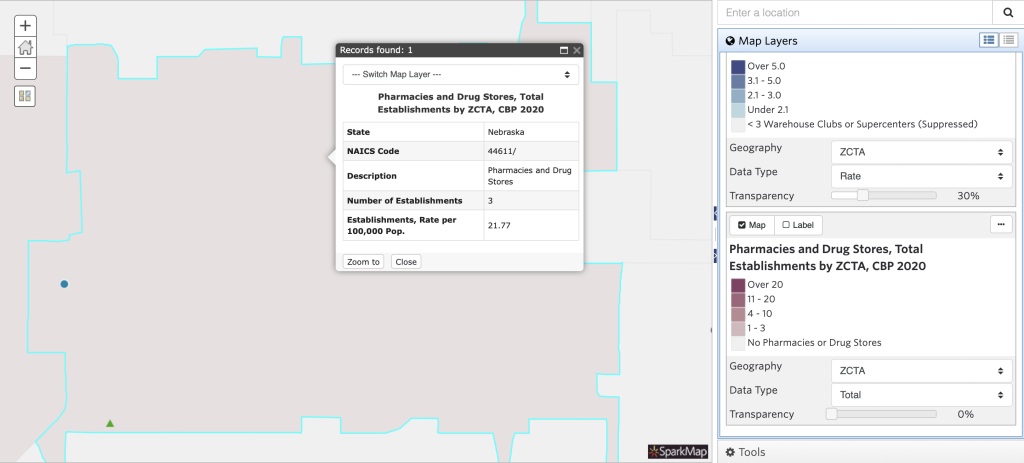
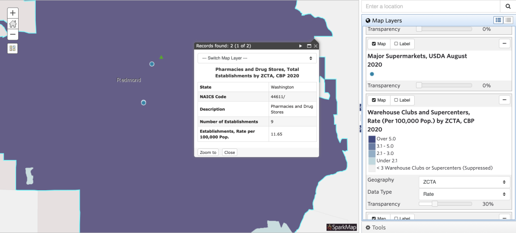
But, with three pharmacies and drug stores in the area, (Figure 3) you will be able to quickly get necessary over the counter medical supplies.
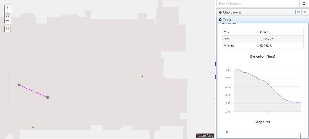
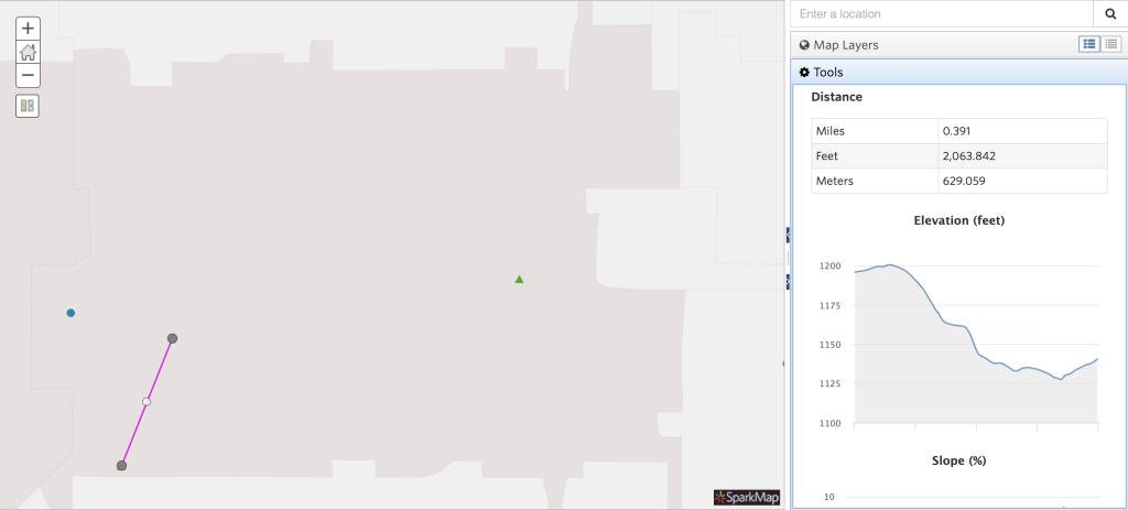
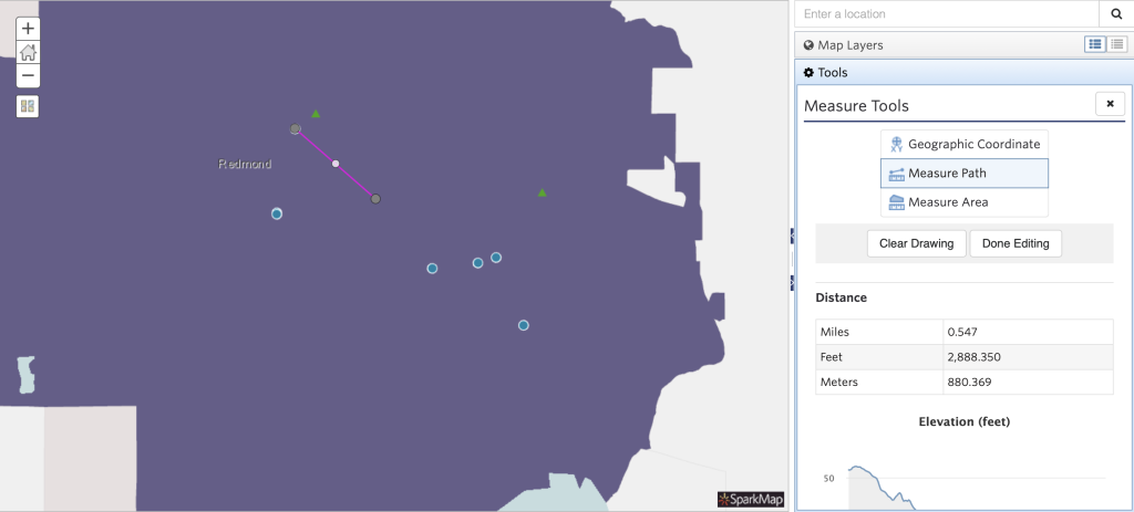
When you head to the drug store, it looks like there is a hospital (green triangle) and major supermarket (blue circle) nearby. With our measure tool, you can figure out exactly how far it is to each of them and how treacherous the route is (Figure 4). You can surely grab supplies there today, but it’s nice to know you’ll be able to walk (or run!) to them if the situation gets dire.
And Washington?!
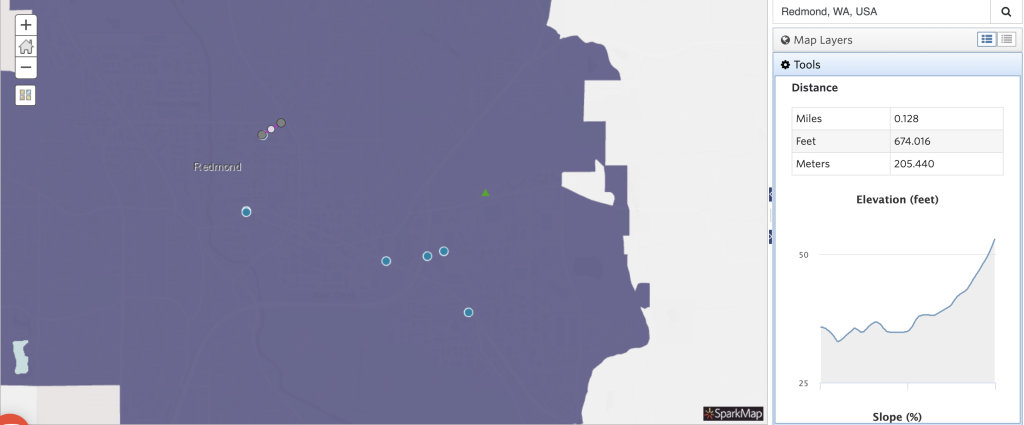
How will your sibling in Redmond fare? With multiple warehouse stores, pharmacies, hospitals, and supermarkets in the area (Figure 5) it looks like they’ll be prepared too. Phew!
What if you don’t live in Omaha, NE or Redmond, WA? Assess your Zombie Apocalypse Supply locations in the Map Room now!
Although Halloween has us thinking about the Zombie Apocalypse, using the SparkMap Map Room to understand the assets walkable in your community is always important. Maybe you’re considering moving, deciding where to build a new hospital, or proposing vital community services. With SparkMap, you can easily access 30,000 map layers to create powerful data visualizations and impact your community.