Data Dive: Radon
Radon is the second leading cause of lung cancer in the US. Learn more about accessing and interpreting radon data in the Map Room and Community Needs Assessment in this Data Dive.
Our data, your database. Learn more about the SparkMap API.


Radon is the second leading cause of lung cancer in the US. Learn more about accessing and interpreting radon data in the Map Room and Community Needs Assessment in this Data Dive.
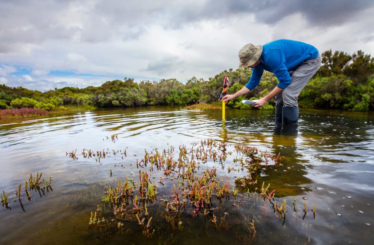
Incorporating conservation goals and data into community planning and assessments can be challenging. It can be equally difficult to find and interpret quality data related to conservation in a meaningful way. Adding to the complexity, conservation can also be a little ambiguous to define and may change depending on your goals. Are you conserving water?…

Learn more about two of SparkMap’s Air Quality data layers in this Data Dive. We explore both Ozone Levels and Particulate Matter (i.e., small particles in the air) as two indicators of community health.
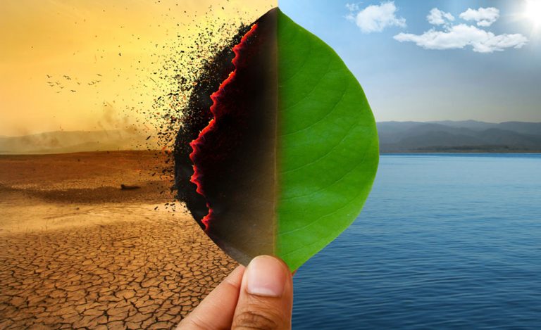
In this blog, we highlight frequently updated wildfire and drought data layers. Whether or not your community is directly impacted by wildfire season or drought, our climate data can help you stay safe and spur positive community resilience.

Commuting to work has significant impacts on personal health, the environment, and the economy. Learn more with SparkMap data in this blog!
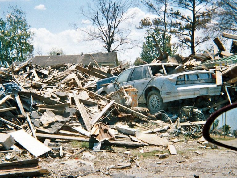
What are the riskiest disasters that communities should be prepared for and where should resources be allocated? The Federal Emergency Management Agency (FEMA) released a new index – the National Risk Index – to help communities mitigate disasters with more specificity.
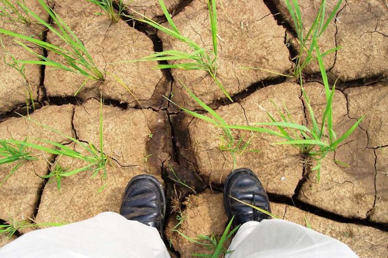
One of our frequently updated datasets, Drought Intensity from the U.S. Drought Monitor, is unfortunately coming into greater use as drought conditions intensify across the United States. Learn more about the dataset and it’s uses.

Research, and personal experience for many, has shown the positive relationship between time outdoors and our physical and mental health. Learn how to use the Map Room to access environmental data and make the case for parks in your community.