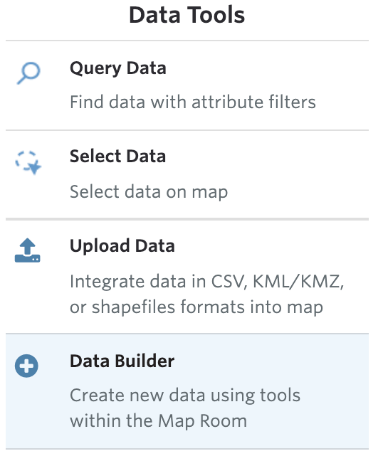
ZIP code Data

ZIP code Data

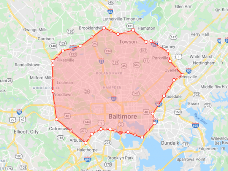
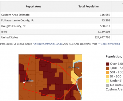
Get data for every ZIP code in your assessment area, using the County List, Draw My Area, or Pick from Map tools – view alongside our dynamic data visualizations or download for offline use. *Note: only available to annual Premium subscribers.

Small Area Estimation Tool

Small Area Estimation Tool

Estimate data for non-standard geographies, such as sub-county areas or legislative districts, using Population-Weighted Small Area Estimation methodology.  This tool will estimate the distribution of data for selected indicators, providing an improved description of conditions for unique areas.