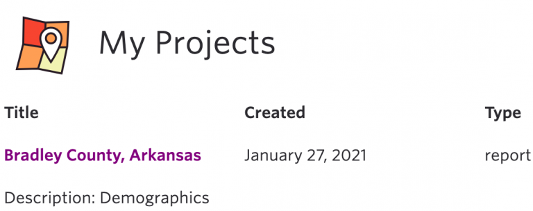
Save Assessments
Assessments can be saved in static format providing a dated snapshot of indicators, or in interactive format, which will automatically update as data supporting an indicator changes.
Change the colors, symbols, and text on your map. Explore our new Map Customization tool now!

Information about Product Features.
Assessments can be saved in static format providing a dated snapshot of indicators, or in interactive format, which will automatically update as data supporting an indicator changes.
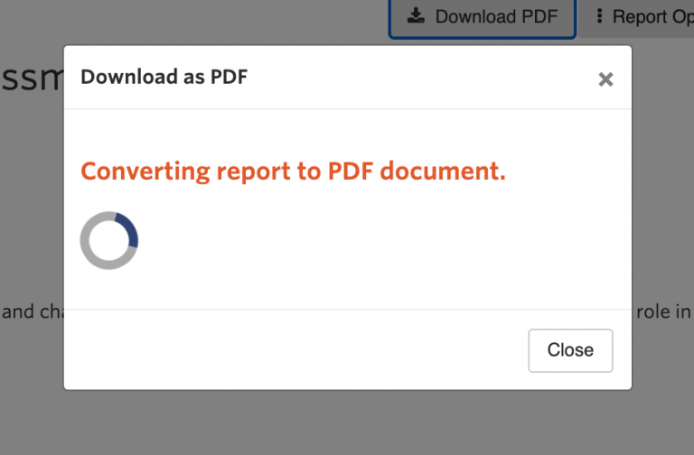
Export a SparkMap assessment to PDF for saving and sharing. With a Premium Subscription, download editable Word and Excel formatted assessments.
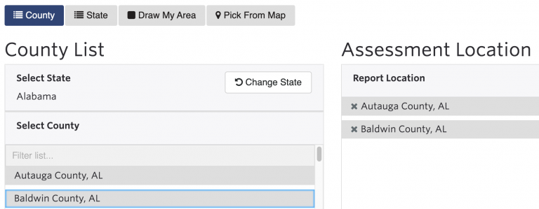
Create free assessments on a single county or state. With an Intro or Pro subscription, create assessments with multiple counties or states. With a Premium membership subscription, create custom areas by grouping ZIP Codes or other standard geographies, or drawing an area on a map.
Packaged indicators provide access to pre-selected groupings of data. The Standard Package provides a basic set of information describing conditions. The Community Development Package focuses on indicators supporting understanding of local socioeconomic conditions. The Health Professional Package supports community health needs assessment. Learn more about which indicators are available with the (always!) Free, Intro, Pro,…
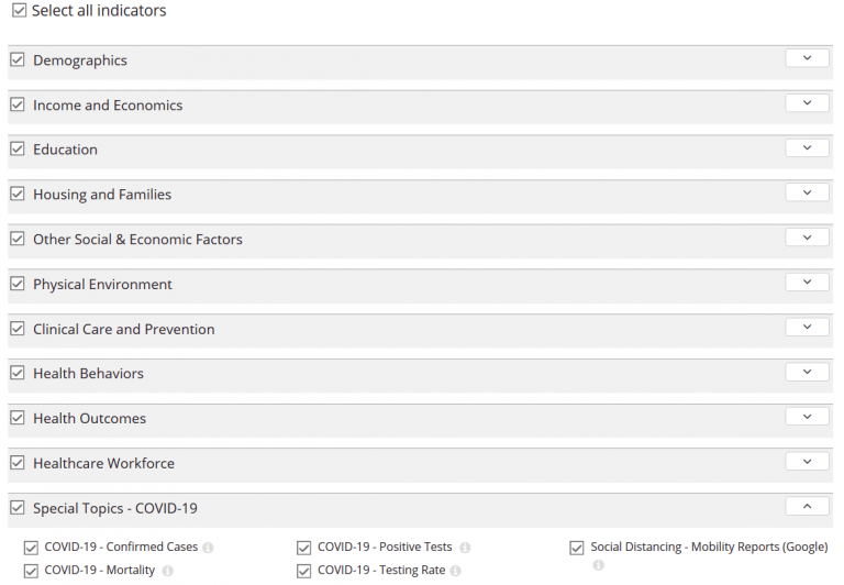
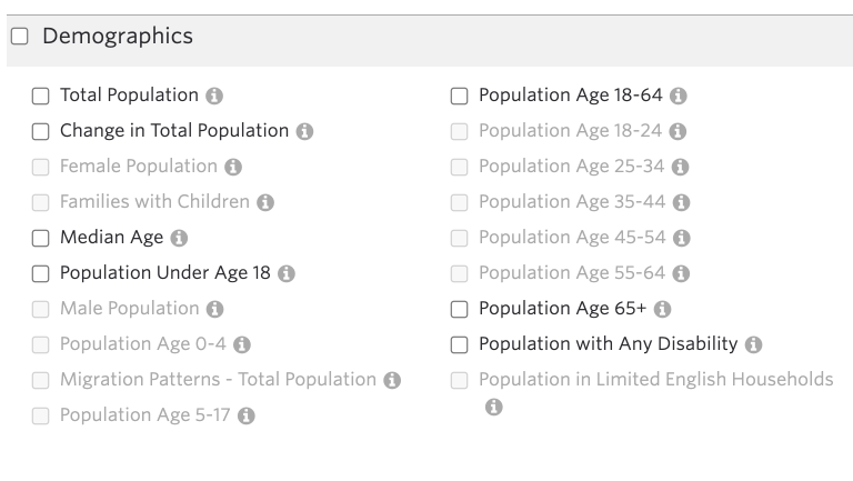
Indicators are specific measures that show the condition of a particular topic. For example, an indicator can show the number of physicians available in a county, the trends in unemployment, or percent of population with Veteran status. Assessment indicators combine tables, maps, charts, dials, and dynamic descriptions to provide a comprehensive view of the data.
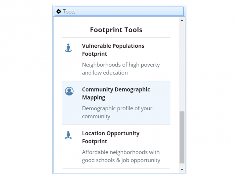
Specialized tools allow the analysis and exploration of map data for specific topics. Use the Vulnerable Populations Footprint tool to discover concentrations of populations with health access challenges, or use the Location Opportunity Footprint Tool to find neighborhoods with great schools, jobs, and housing.
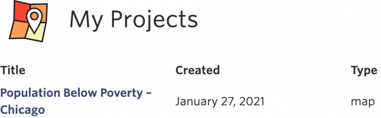
With a free account or paid subscription, interactive maps can be saved to a SparkMap personal project folder. Use this feature to return to the same map view, share with others, or modify the map. This is useful for bookmarking datasets and locations you frequently access.

Share the maps you create in the Map Room with others seamlessly via social media links or email. Shared links connect to the full interactive mapping features used to create the share. The Map Room also supports the export and download of maps in multiple formats, allowing printing or integration of maps into other documents.
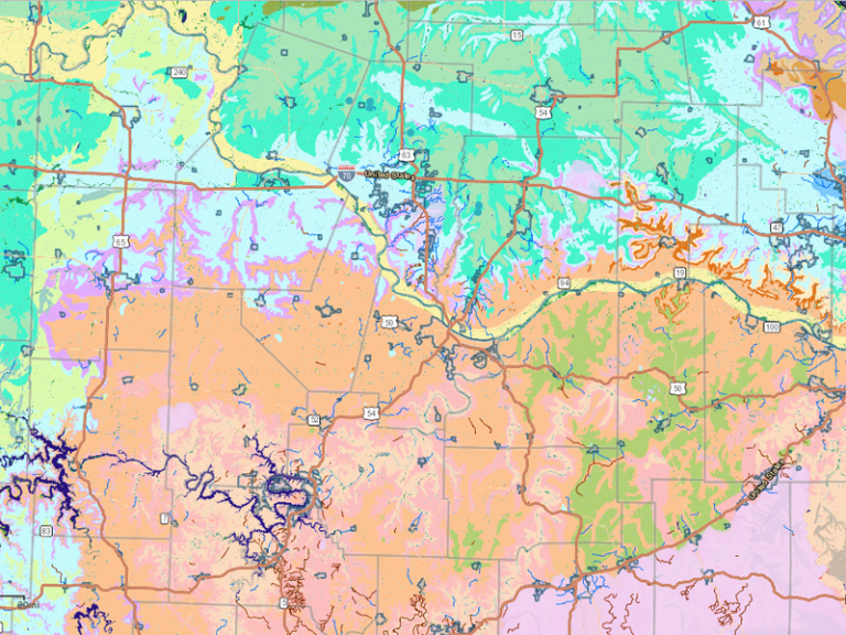
A place to interact with thousands of mapped data sets, the Map Room is the primary visual component of SparkMap. Search and load information from a broad library of data sets, explore the maps, and share with others. The Map Room is also integrated across SparkMap features, providing a familiar interface for data visualization.